Hiking

Hiking in Sisak-Moslavina County is an excellent form of recreation
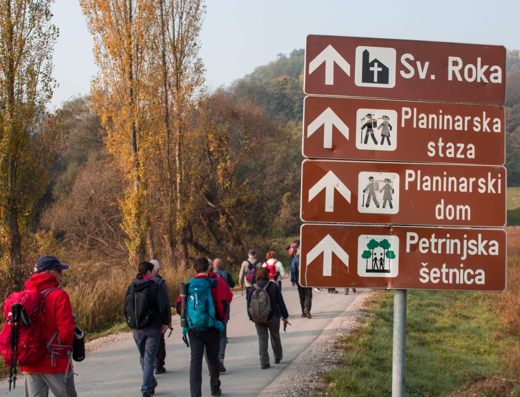
Hiking in Sisak-Moslavina County is an excellent form of recreation—an ideal way to recharge, breathe in fresh air, stretch your legs, enjoy scenic views, socialize, and relax. The trails are enjoyable even if you’re not in peak physical condition.
True, you won’t be conquering high mountain peaks, but you’ll still get to enjoy the forest, breathtaking views, leisurely walks, and good company.
If you’re new to hiking, the trails on Hrastovačka Gora, Petrova Gora, and Moslavačka Gora are perfect for beginners, offering a great introduction to the beauty of the region’s natural landscapes.
Hrastovačka Gora offers pleasant hiking trips, with each trail providing a different experience. In addition to marked hiking trails, unmarked paths and roads also offer excellent opportunities for hiking. Depending on the starting point, hikes last from an hour and a half to three hours, and all trails lead to the highest peak, Čepeliš, where the “Matija Filjak” Mountain Lodge and a viewpoint are located at an altitude of 415 meters.
Petrova Gora was once called Gvozd, meaning “forest.” After a great battle between the Hungarian army on one side and the Croatian army led by King Petar Svačić on the other, the Croatian King Petar Svačić died on this mountain, which was later named Petrova Gora in his honor. The peak is marked by a geodetic pyramid, displaying the name of the summit and equipped with a metal stamp.
Geologically, it is an ancient formation, which means it is relatively rich in water and primarily covered by forest vegetation. This results in certain limitations for hikers due to the lack of wide panoramic views. However, the area features diverse terrain with numerous prominent ridges and deep valleys enriched by many streams.
Moslavačka Gora is located in the middle of a plain, surrounded by the rivers Česma, Lonja, and Ilova. Although not particularly large or high, it has numerous mountain ridges and slopes. It stretches in a northwest-southeast direction.
The highest peak is Humka (487 meters), which is occupied by a television transmitter and is therefore not accessible to hikers. Instead, the peak Vis (444 meters) has been selected as the final point of the Croatian Mountain Trail.
From the summit, there are panoramic views toward the southeast and south, offering a clear view of the town of Kutina, the village of Kutinica at the foot of the mountain, as well as a large part of the Posavina region.